R&D Solutions
Motion
GEOINT
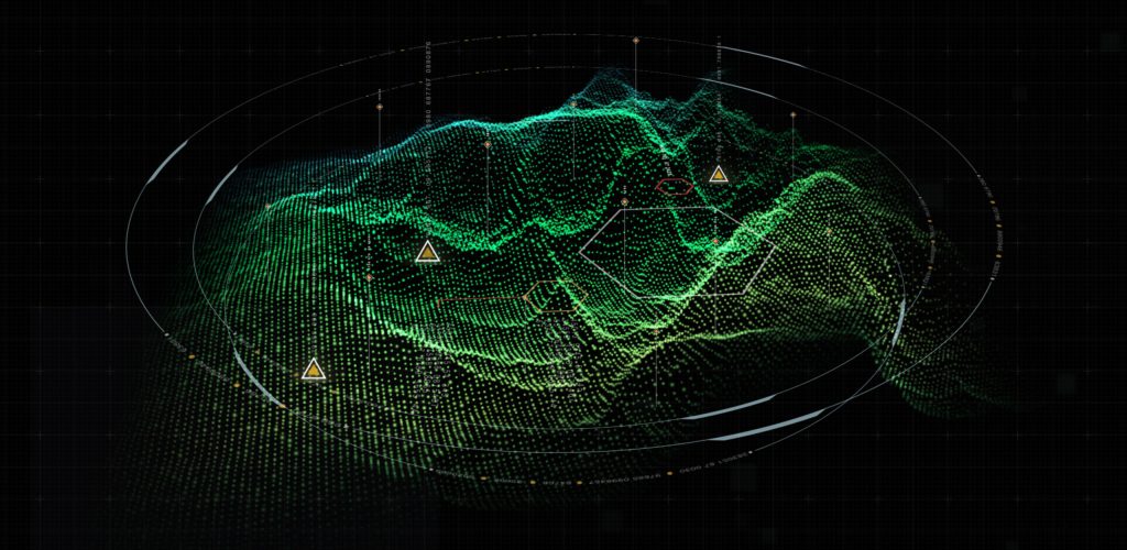
Geographic intelligence derived from motion data analysis for wide-area surveillance and activity pattern recognition.
Motion Geospatial Intelligence (Motion GEOINT) is the analysis and interpretation of geospatial information related to the movement of objects or activities within a region. Motion GEOINT combines geospatial data, motion analysis, pattern recognition, temporal analysis, and multi-INT sensor data integration to extract valuable intelligence and insights.
Black River uses Motion GEOINT data to enhance military operations by tracking the movement of enemy forces, monitoring changes in troop deployments, and identifying potential threats. This intelligence plays a crucial role in enhancing situational awareness and supporting the decision-making process.
Explore More Technology Areas


Get Started
Ready to discuss Motion GEOINT for your mission?
Our engineers are ready to scope your requirements and propose a path forward.